 Image 1 of 1
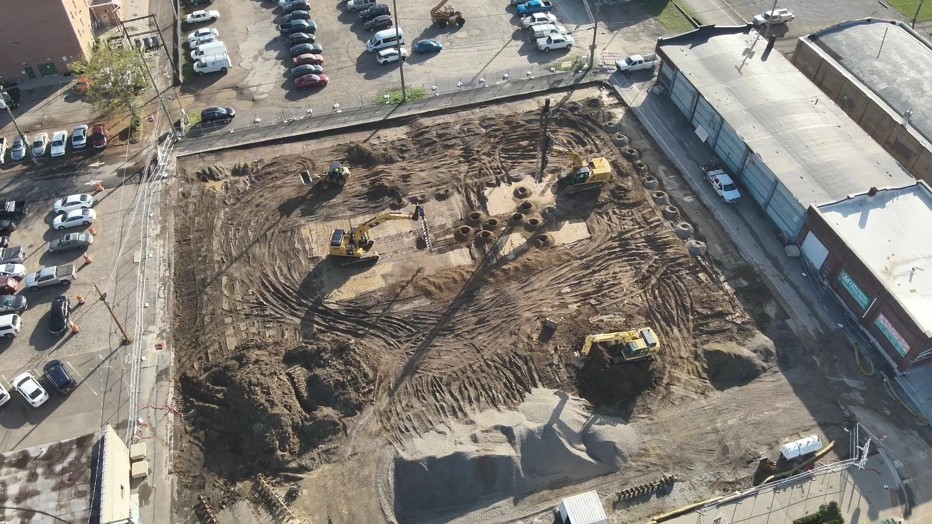
Our Construction Project Documentation Program employs advanced drone technology to precisely monitor your project's progress. Scheduled mapping flights deliver regular, detailed aerial photos and videos, enabling you to track milestones, assess site conditions, and document all phases of construction. We also provide high-quality asset documentation and create engaging promotional media, including videos and images, to showcase your project’s development. Our drone-based approach ensures accurate, up-to-date visuals that enhance project management, communication, and marketing efforts. All data is securely stored on our cloud platform, allowing you to access or share it from anywhere, at any time.
Our Construction Project Documentation Program employs advanced drone technology to precisely monitor your project's progress. Scheduled mapping flights deliver regular, detailed aerial photos and videos, enabling you to track milestones, assess site conditions, and document all phases of construction. We also provide high-quality asset documentation and create engaging promotional media, including videos and images, to showcase your project’s development. Our drone-based approach ensures accurate, up-to-date visuals that enhance project management, communication, and marketing efforts. All data is securely stored on our cloud platform, allowing you to access or share it from anywhere, at any time.